Trail 8k
Outwood, Ringley & Canal (Diversion)
Distance
9.5 km
Elevation
+93m
Terrain
Trail
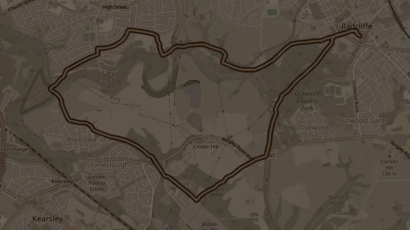
The diversion variant of the Outwood-Ringley loop, extending through Moses Gate Country Park and the Nob End SSSI for additional distance and a different finish. It still opens with the 31-metre climb through Outwood Country Park and Ringley Wood - the divergence comes beyond, adding Ladyshore and Nickerhole Clough on the return.
This is one of the free running routes used by Run Together Radcliffe, a free running club meeting every Thursday at 7pm at Radcliffe Market. Everyone is welcome.