Trail 8k
Sion St, Bradley Fold, Banana path
Distance
8.3 km
Elevation
+55m
Terrain
Trail
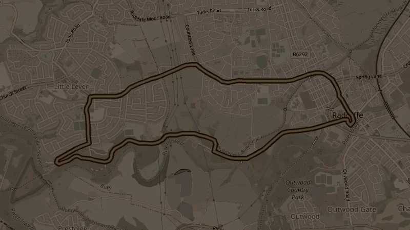
Canal towpath north to the Ladyshore junction, then a return through Mytham Park and Nickerhole Clough back to Outwood Country Park. Easy going out along the water and more varied on the return - 55 metres of elevation concentrated in the middle section with a flat towpath to start and finish.
This is one of the free running routes used by Run Together Radcliffe, a free running club meeting every Thursday at 7pm at Radcliffe Market. Everyone is welcome.