Trail 8k
Canal, Elton, Woos, Daisyfield
Distance
8.8 km
Elevation
+41m
Terrain
Trail
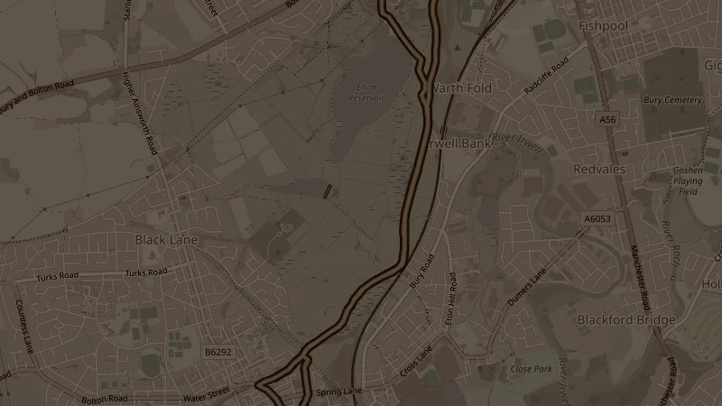
Canal north to Elton Reservoir, then continuing along the Farmer's Arms Wharf access track and past the Daisyfield Site of Biological Interest before looping back south on the towpath. At 41 metres across 8.8k it's one of the flattest longer trail options - the Daisyfield SBI adds a quieter stretch that few runners find on their own.
This is one of the free running routes used by Run Together Radcliffe, a free running club meeting every Thursday at 7pm at Radcliffe Market. Everyone is welcome.