Trail 5k
RNR, Chapelfield
Distance
5 km
Elevation
+77m
Terrain
Trail
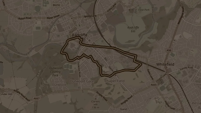
Head out past Coronation and Springwater Parks before the main climb — 50 metres up to the run's high point via Nursery Brow, a steady pull that rewards you with open views across the valley. From the top, a sharp descent through Outwood Country Park brings you back down towards town in two stages. Short on distance but with a good climb in the middle — 77 metres of elevation in 5k is a nice workout.
This is one of the free running routes used by Run Together Radcliffe, a free running club meeting every Thursday at 7pm at Radcliffe Market. Everyone is welcome.