Social long run
Late May Bank Holiday 10k
Distance
10.1 km
Elevation
+130m
Terrain
Trail
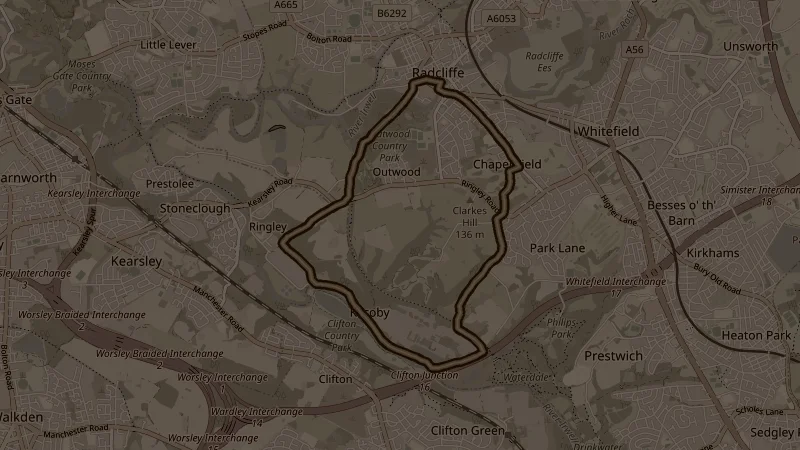
From the market the route heads southeast, climbing steadily through Chapelfield to the high point at 125 metres - around 60 metres of gain in the first 2k. A sustained descent drops you into the Irwell Valley near Kearsley at just 41 metres, before the route turns west along the valley floor toward Stoneclough. The return leg swings north through Outwood Country Park, climbing back to around 95 metres, before a gradual descent home. A varied 10k with 130 metres of ascent - the long flat valley section gives it a different character from the standard Thursday routes.
This is one of the free running routes used by Run Together Radcliffe, a free running club meeting every Thursday at 7pm at Radcliffe Market. Everyone is welcome.