Social long run
GM Ringway - Stage 12: Norden to Bury
Distance
21 km
Elevation
+547m
Terrain
Trail
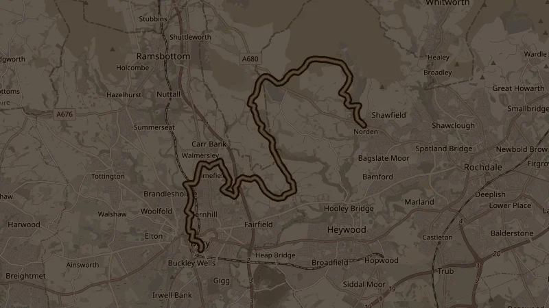
Stage 12 of the Greater Manchester Ringway — a challenging point-to-point from Norden (near Rochdale) to Bury town centre. The route climbs hard and early, gaining over 250 metres in the first 4k to reach the high point of 417 metres on the open moors above Heywood. From there it descends across rolling moorland and farmland, dipping into the valleys before a final long descent into Bury. At 21k with 547 metres of climbing, this is a big day out — expect exposed moorland, mixed terrain, and proper trail conditions underfoot. See notes about getting to the start point.
This is one of the free running routes used by Run Together Radcliffe, a free running club meeting every Thursday at 7pm at Radcliffe Market. Everyone is welcome.