Social long run
Christmas Social Run
Distance
4.9 km
Elevation
+79m
Terrain
Trail
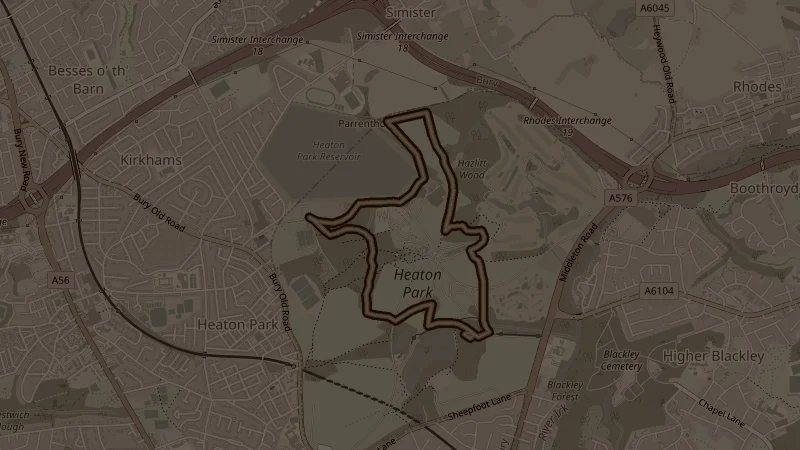
A loop of Heaton Park that stays inside the park from start to finish. Park drives and paved paths make up most of it, with a short stretch of muddy path just before 1k and a track through Hazlitt Wood. After a brief early rise the first 3k run mostly downhill, about 45 metres in all, so the climbing comes at the end: around 34 metres back up over the last 1.8k to finish where you started.
This is one of the free running routes used by Run Together Radcliffe, a free running club meeting every Thursday at 7pm at Radcliffe Market. Everyone is welcome.