Road 8k
RNR, Rufford, Moss, Pinfold, Ringley, Outwood
Distance
8.6 km
Elevation
+101m
Terrain
Road
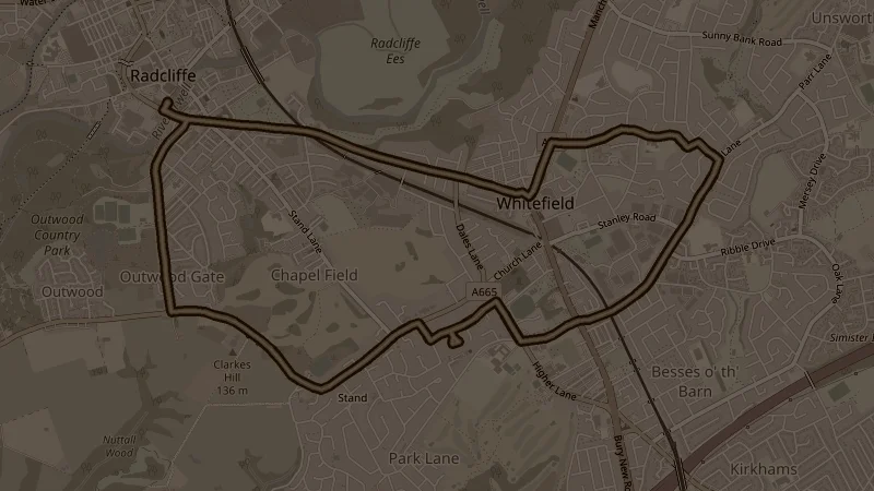
Over 100 metres of elevation across 8.6k - starting with the 43-metre climb through Coronation and Springwater Parks before extending out through Rufford Moss, Pinfold Lane, and Ringley to Outwood Country Park. The sustained distance through Pinfold and Ringley makes this one of the more demanding road 8k options.
This is one of the free running routes used by Run Together Radcliffe, a free running club meeting every Thursday at 7pm at Radcliffe Market. Everyone is welcome.