Road 8k
RNR, Bury, Tesco, Ringley, Stand
Distance
8.4 km
Elevation
+88m
Terrain
Road
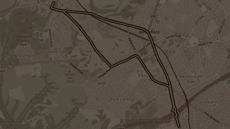
The customary 43-metre opening climb through Coronation and Springwater Parks before pushing further out via Bury Road to Ringley and Stand, crossing the Prestwich Footbridge mid-route. At 88 metres of total elevation across 8.4k this is one of the hillier 8k options in the programme.
This is one of the free running routes used by Run Together Radcliffe, a free running club meeting every Thursday at 7pm at Radcliffe Market. Everyone is welcome.