Road 8k
Dumers, Mcr Rd, Bury Rd
Distance
8.5 km
Elevation
+47m
Terrain
Road
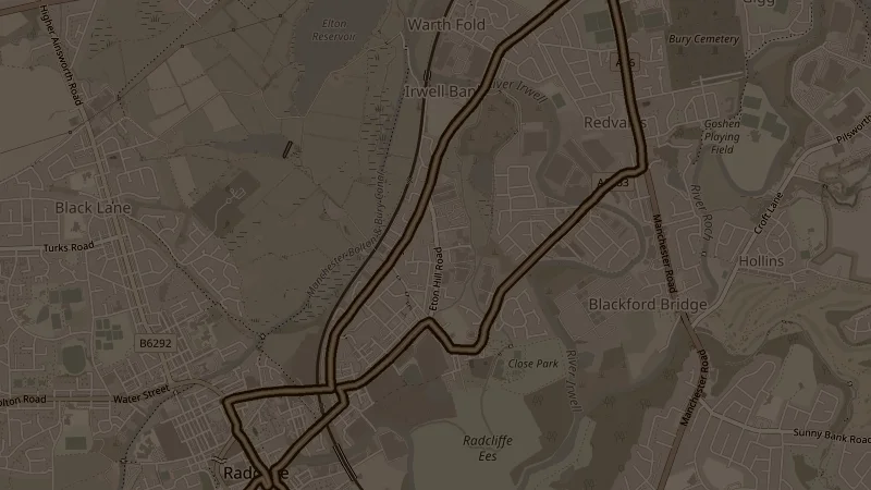
One of the flattest options in the programme - just 47 metres of elevation across 8.5k along Manchester Road and Bury Road, looping back past Starkies Wood and Redvales Playing Fields before finishing along the canal. Smooth surfaces throughout and straightforward going the whole way.
This is one of the free running routes used by Run Together Radcliffe, a free running club meeting every Thursday at 7pm at Radcliffe Market. Everyone is welcome.